The Adams Lake Indian Band Natural Resource Department Mission is to ensure ALIB is developing capacity to engage with government and proponents on land use planning and development projects throughout the territory to ensure sustainability to achieve the ALIB Mission Statement.
Strategic Priorities
- Be Self Sufficient
- Build Capacity
- Generate Revenue back to ALIB
Forestry
The Roles and Responsibilities of the Forestry Department is to sustain and manage Adams Lake forest resources and forest tenures, while creating training and job opportunities for community members.
Adams Lake Indian Band maintain our own silviculture obligations which include
Site Preparation, Tree Planting, Surveys, Brushing and Reporting.
Archaeology
The Natural Resource Department started our Archeology Department back in 1999. We have put approximately 30-40 members through the training program. As a result we have developed the capacity to undertake large Archaeology projects including;
- Monte Creek to Hoffmans Bluff 4-Laning
- Salmon Arm West 4-Laning
- Chase West 4-Laning
Natural Resource has our own permitting system for conducting arch work within our territory.
We provide support for other archaeology works in the territory with various companies such as BC Hydro, CP Rail and other Arch Companies.
Archaeology and Cultural Heritage Assessments for forestry
We have Service Agreements with all major forest licensees to conduct office and field reviews of their proposed cut blocks to identify potential Arch sites.
While we conduct these surveys we also conduct Cultural Heritage Assessments. These Assessments have created the opportunity for our members to get out on the ground engaged in meaningful employment while learning plants, animals, birds and stories/history of the land.
We have 10-12 Employees trained on conducting these field reviews.
The Adams lake Indian Band (ALIB) has adopted NationsConnect, a consultation and referrals portal. As an addition to our current Community Knowledge Keeper (CKK) system, this portal will be used together with the CKK to streamline our consultation and referrals management process.
All of your consultations and referrals must now be sent to ALIB through the NationsConnect portal. This will replace submissions by mail, fax, and email, as well as individual submissions made directly into ALIB’s CKK software.
Go to https://nationsconnect.ca/ to begin the process of registration. Click on the Sign Up Now button to get started. When you are ready to submit your first project, or should you have any questions beforehand, please do not hesitate to contact Sarah or Kate at support@kwusen.ca.
All referrals must input a kml/kmz or zipped shape files before submission is complete.
Referrals sent to this referrals@alib.ca will not be considered submitted to ALIB and will not receive a reply.
Fisheries
About
In conjunction with Secwepemc Fisheries Commission and DFO funding and contracts to help support these programs and projects.
- Catch Survey Monitoring (Communal Fisheries)
- Streams Walks; Coho survey of streams entering Adams Lake
- Funding for communications and Fisheries Manager
- South Thompson River Sport Fishery – 5 year Contract with DFO
- Stream Restoration
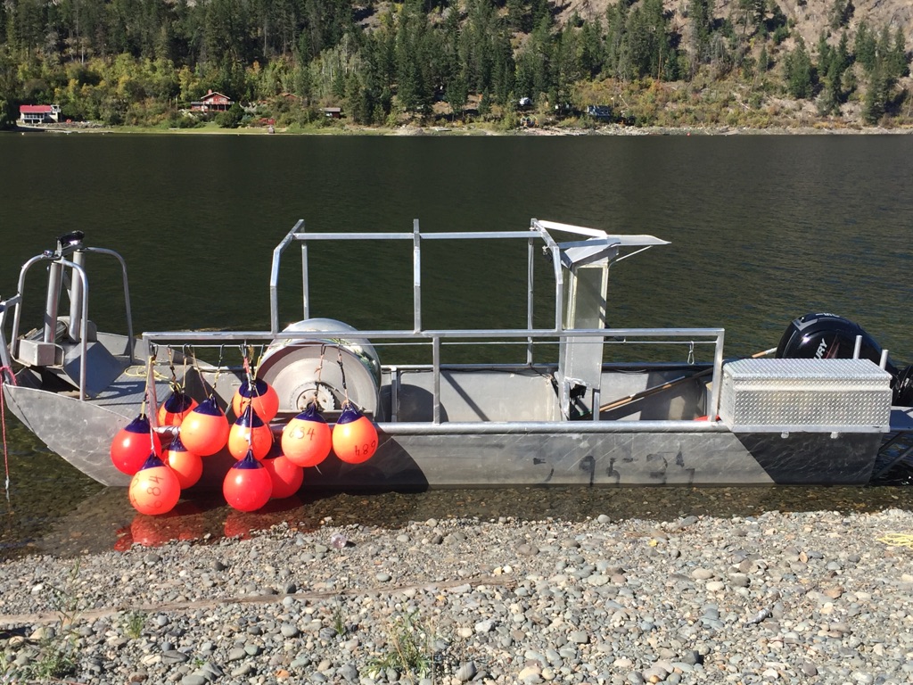
Boats
We have redesigned our main fishing boat. It has been outfitted with a new motor and lighting making night sets safer for working on board and for navigating. We have added a ladder for ease of boarding for elders and children for field trips.
We have purchased a new trailer to allow for easy transportation of the boat to Adams lake for tours.
We have rebuilt a hull that was sitting around for the past 10yrs or so. It is ready this season and suitable for sein net fishing as well as taking groups on tours.
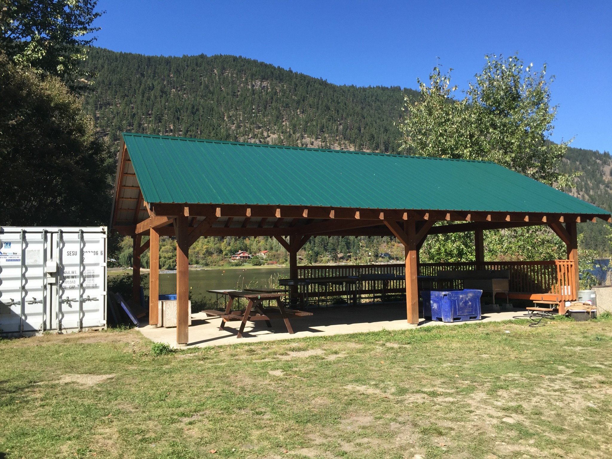
The Natural Resource Department maintains and operates 12 Recreation Sites, 3 of which we charge a nightly fee. The fees help offset the two rec site worker positions and to assist with expenses to maintain.
We are in discussion and working towards a co-management agreement with Ministry of Forest Recreations Sites and Trails BC.
- Brennon Creek – Fee Site
- Johnson Lake – Fee Site
- Honeymoon – Fee Site
- Dennis Lake
- Skamana Lake
- Squaam Bay
- Gannet Lake
- Gordon Bay
- Rocky Point
- Stukemapten Lake
- Tsikwustum Creek North
- Tsikwustum Creek South
Recreation Site Maintenance
Content coming soon.
Geographic Information Systems (GIS)
The NR Department owns sophisticated mapping software and equipment that two of our band members run and maintain. They continue to support the Natural Resource Department, Title and Rights and other ALIB departments with mapping services and contracts.
- They provide mapping services for our forestry operations
- Mapping for Archaeological and Cultural Heritage Assessments
- Developing online mapping to support other departments such as Lands and Public Works
- Assist Title and Rights Department with Mapping
- NR field crews utilize Ipads extensively for our field operations.
- NR has developed our own app to create digital forms for Safety, Archaeology and Cultural Heritage Assessments.